Own product · live
monadruk
Printable 3D models of real places, generated from map and elevation data and sold online.
- Livemonadruk.com, with LiqPay payments
- 800ktriangles in the model on this page
- 74layers of 0.2 mm
- 82commits in the production repo
The problem
Turning OpenStreetMap into an object you can print is mostly a fight with geometry: road masks with holes, buildings floating above the terrain, boolean operations that fail, and fragments too thin for a nozzle.
How it works
- 01
Choose the area
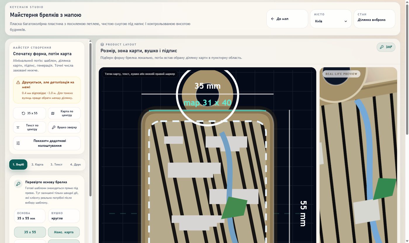
The customer picks a place. This export is an 80 × 80 mm square.
- 02
Footprints from OSM
Buildings, roads, water and parks come from OpenStreetMap as 2D shapes and are cleaned up with shapely.
- 03
Terrain
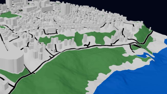
Elevation tiles become the ground the city stands on.
- 04
Extrude and merge
Footprints rise to their heights and merge with the terrain into one mesh. This model has 800,438 triangles.
- 05
Make it printable
Checks catch broken road topology, misfits between roads, parks and water, buildings not seated on their base, unstable booleans and thin fragments.
- 06
Print
Exported as STL or 3MF and printed in 0.2 mm layers: 74 of them for this model.
Limits I know about
- Every new city brings new edge cases in OSM data, so the failure classes above are tracked as a checklist on every export.